|
|
Benseather.com Forecast
|
|
Bensweather.com Forecast Updated: Friday, Apr 26 @ 06:36pm
|
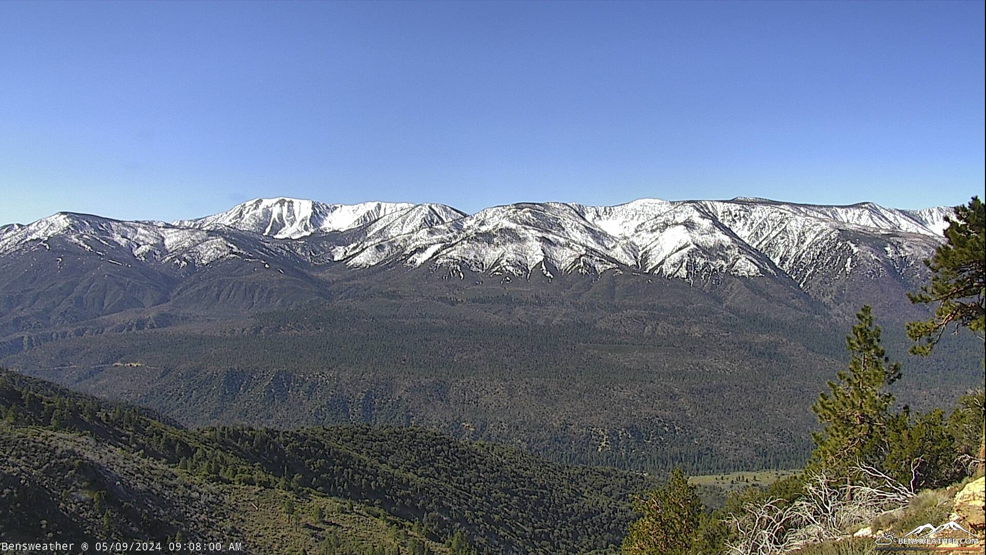
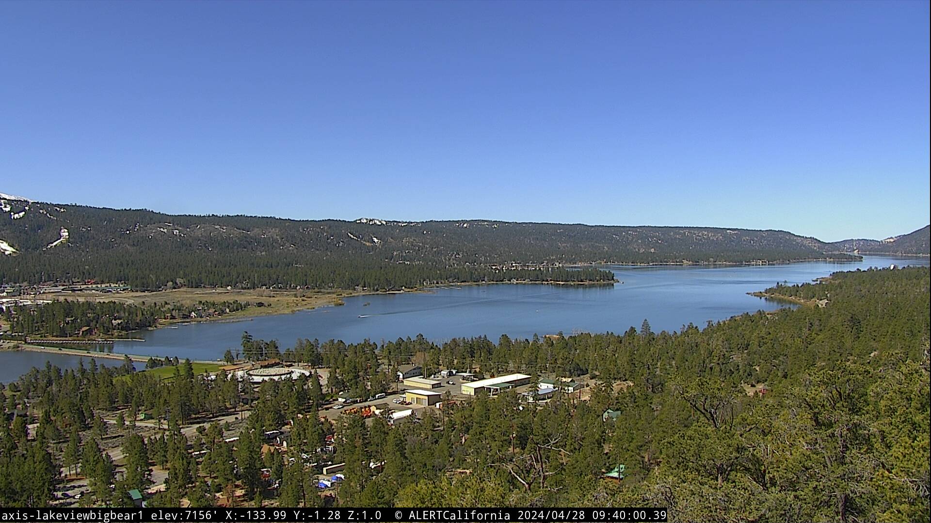
| Looking at some cooler, windy weather out there as a trough remains in place across the West Coast. A weak low-pressure system will move through the area today and could deepen the marine layer enough for some light rain and drizzle. As the onshore flow strengthens through this evening, we could see a few light rain or snow showers, then fair and warmer weather returns over the weekend. Partly to mostly cloudy skies through this evening with a shower or thunderstorm possible. Temperatures cooling into the 30's with westerly winds 20-30 mph, gusting to near 40 mph possible at times. Expect mostly cloudy skies tonight with a few snow showers possible, cold, and breezy with lows in the mid 20's. Low pressure will move east tomorrow as high pressure nudges its way back into the picture with a gradual warm-up expected through next week. Daytime highs will climb from the 50's Saturday to the lower 60's on Sunday, while overnight lows dip into the 20's. Temperatures will top out near 70 degrees again by the middle of next week with dry weather ahead.
|
|
 |