*** A WINTER STORM WARNING IS NOW IN EFFECT FOR THE SAN BERNARDINO MOUNTAINS THROUGH 4:00 PM MONDAY *** A VERY COLD WINTER STORM WILL SLOWLY MOVE THROUGH OUR AREAS SUNDAY INTO TUESDAY BRINGING FRIGID TEMPERATURES AND GUSTY WINDS WITH SNOW, HEAVY AT TIMES WITH ISOLATED THUNDERSTORMS & THUNDERSNOW POSSIBLE! - TOTAL SNOWFALL ACCUMULATIONS THROUGH TUESDAY OF 6-12 INCHES CAN BE EXPECTED ABOVE 4,000 FEET, 1-2 FEET ABOVE 5,500 FEET, AND AROUND 2 FEET ORE MORE POSSIBLE ABOVE 7,500 FEET - TRAVELERS SHOULD BE EXTRA PREPARED, TRAVEL SAFELY, AND ALWAYS CARRY TIRE CHAINS! ***                                                                                                                                                                                                                                                                                                                                                                                                                                                                                                                                                                                                                                                                                                                          
Benseather.com Forecast
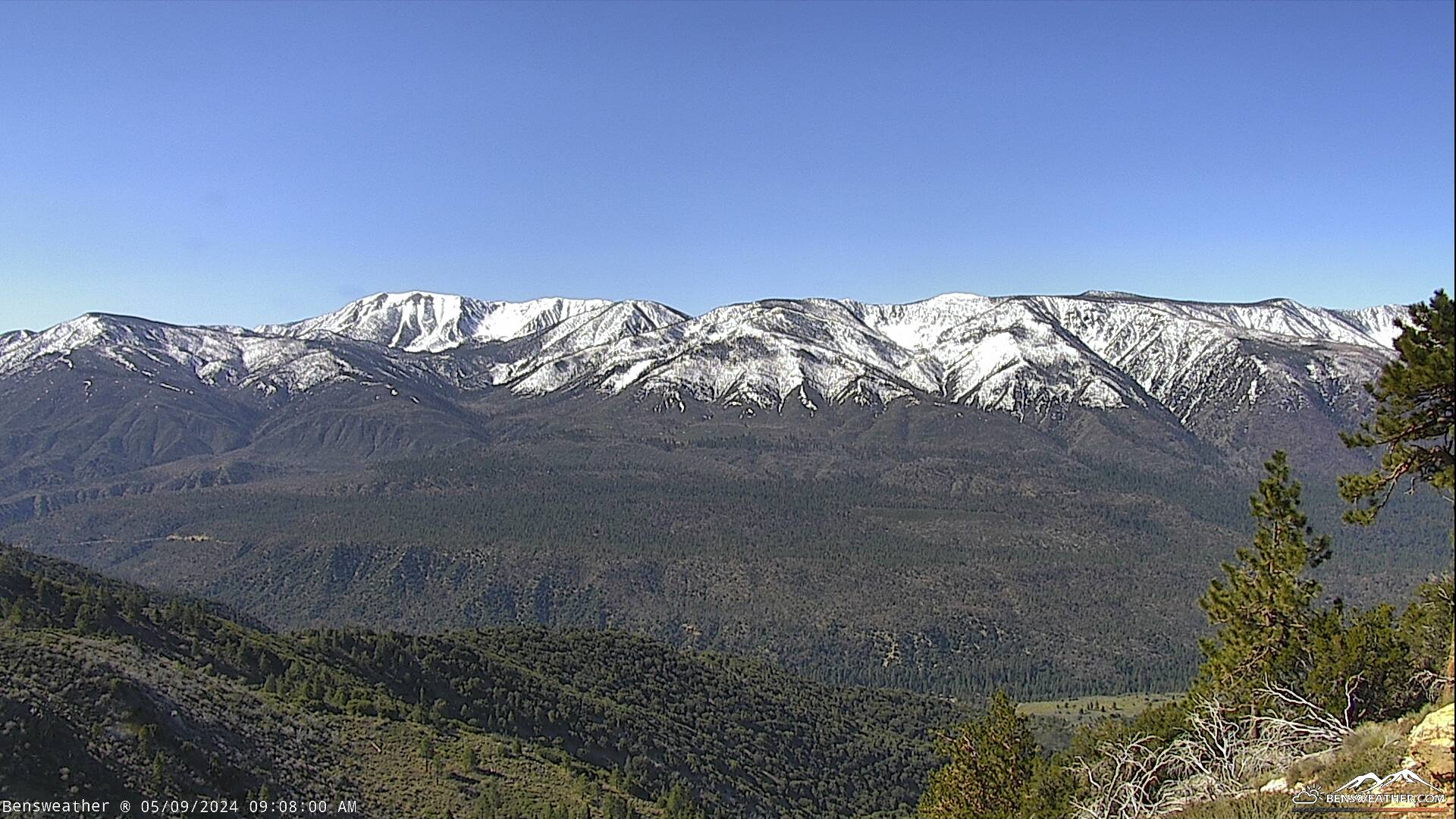
SNOW/THUNDER
SNOW SHOWERS
SCT'D SNOW SHOWERS
PARTLY CLOUDY
SUNNY
INCREASING CLOUDS
CHANCE OF SHOWERS
34° 18°
33° 10's
36° 10's
39° 10's
46° 10's
47° 30's
42° 20's
6-12" POSSIBLE
4-8" POSSIBLE
2-4" POSSIBLE
Bensweather.com Forecast Updated: Sunday, Jan 26 @ 12:21am
A very cold, Canadian low-pressure system will slowly approach the area today with snow showers likely, the snow could become heavy at times, especially by afternoon as the low inches closer. Cold and windy with highs in the 30's, south-southwest winds gusting to around 35 mph will push wind chill values down near zero! The snow level will lower to around 3,000 feet tonight and Monday with snow showers continuing, a few thunderstorms with thundersnow is possible. This closed low-pressure system will slowly move inland across Southern California Monday before exiting the region on Tuesday. We will also have to watch for potential wrap-around moisture which could boost snowfall totals even more as moisture could linger into Wednesday. With such a cold storm, we are looking at a high water-snow ratio, allowing the drier snow to pile up where accumulations of 1-2 feet are still expected with higher amounts possible in a few areas, especially above 7,500 feet. Travelers should be prepared for treacherous travel in near blizzard-like conditions at times over the next several days. This winter storm will exit the region later Tuesday or early Wednesday with cool & breezy conditions expected for the remainder of the week. Another weaker storm is possible next weekend, but details on that are TBD at this time. If you have travel plans into the mountains this weekend, be prepared for extremely hazardous, winter weather driving, and always carry chains!


TWITTER:
@bensweather


Good Night!

Big Bear City, California (elev. 6,800ft.)
BENSWEATHER.COM UPDATED @ 00:35 AM


Currently
---
Temperature: 29.6ºF

Winds: WSW @ 0 mph
Wind Chill: 30ºF Humidity: 77%
Barometer: 29.864 & Steady
Dewpoint: 23.3ºF Wetbulb: 27.5ºF
Current UV Index: 0.0 Solar: 0
Rainfall Past Hour: 0.00"

Snow Storm Total: None

Today
High: 29.9ºF @ 12:16 AM Low: 29.5ºF @ 12:00 AM
Max Wind Gust: 4.0 mph @ 12:05 AM
Rain: 0.00" Snow: 0.00" Since Midnight
Sunrise: 6:48 am Sunset: 5:10 pm

Current Air Quality: Good
Real-Time
Fire Danger : Very High

Yesterday
High: 44.4ºF @ 10:17 AM Low: 29.3ºF @ 11:49 PM
Max Wind Gust: 14.0 mph W @ 10:24 AM
Rain:0.00 "
Snow: 0"

Month
High: 61.0ºF 1/1 Low: 12.4ºF
1/16
Max Wind Gust: 8.1 mph
Rain: 0.01" Snow: 5"


Season
High: 61.0 °F on 1/1/2025 Low: 12.4 °F on 1/16/2025
Max Wind Gust: 15.0 mph on 1/4/2025
Rain: 0.01" Snow: 7" (Seasonal Average: 58")

SAN GORGONIO WILDERNESS

BIG BEAR VALLEY

BIG BEAR LAKE

ERWIN LAKE

BALDWIN LAKE

BALDWIN LAKE 2

Bensweather.com Official Sponsors...