
Tuesday Sunny |
Wednesday Sunny |
Thursday Sunny |
Friday Sunny |
Saturday Sunny |
Sunday Sunny |
Monday Sunny |
|
| High: 84 °F | High: 84 °F | High: 87 °F | High: 91 °F | High: 93 °F | High: 93 °F | High: 91 °F | |
Tonight Mostly Clear |
Tuesday Night Mostly Clear |
Wednesday Night Mostly Clear |
Thursday Night Mostly Clear |
Friday Night Mostly Clear |
Saturday Night Mostly Clear |
Sunday Night Mostly Clear |
|
| Low: 58 °F | Low: 57 °F | Low: 53 °F | Low: 55 °F | Low: 58 °F | Low: 59 °F | Low: 58 °F | |
Ben's WX Summary
- Updated: Monday @ 07:45pm
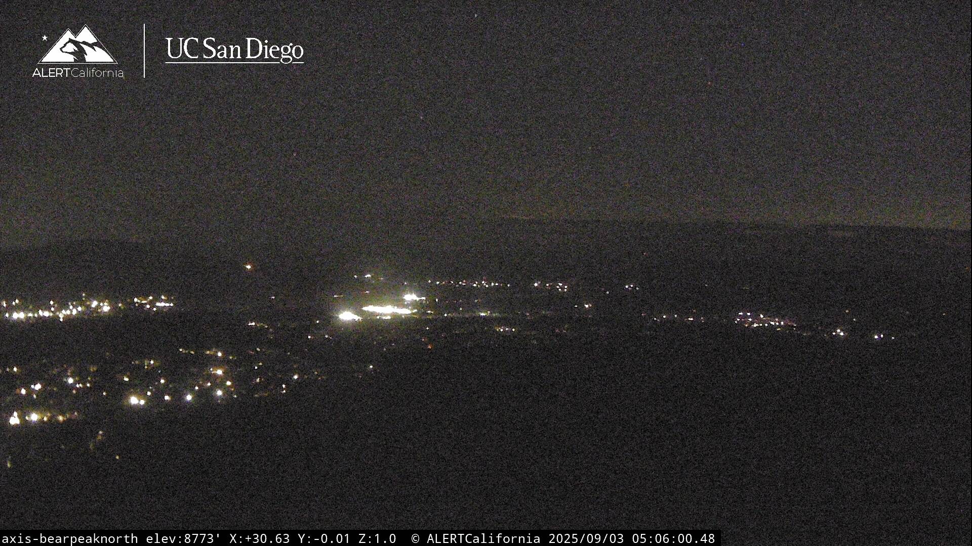
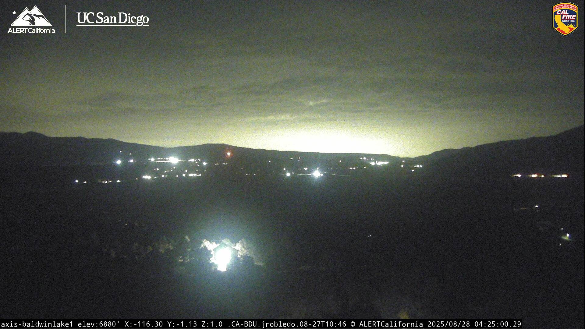
Expect a lot of drift smoke pushing into the Big Bear Valley this evening from the 35 acre Green Fire currently burning west of Mtn Home Village near Thurman Flats. This fire poses no threat to the Big Bear Valley, but residents should always be prepared during wildfire season. Highway 38 also remains closed at this time. Our warm summer weather continues out there with another major heatwave expected by the weekend. Expect mostly clear skies this evening with areas of haze & drift smoke as lows cool to the 50s and 60s. A large blow-up of thunderstorms over Sonora, Mexico, will send a surge of moisture in our direction tomorrow, so we could see a slight bump in humidity with an isolated shower or thunderstorm possible during the afternoon. Highs will top out in the mid-80s again with southwest winds 5-15 mph during the afternoon. Temperatures will slowly increase through the end of the week as high pressure strengthens across the region, pushing daytime highs into the lower 90s by the weekend with overnight lows generally in the 60s. We remain on the western fringe of the monsoon flow and prone to any sudden surge in moisture day to day from Arizona or Mexico.
| Current Conditions | Wind | Rain | Outlook | ||||||||||||||||||||||||||||||||||||
|
|
|
|
||||||||||||||||||||||||||||||||||||
| Humidity & Barometer | Snowfall | Moon | |||||||||||||||||||||||||||||||||||||
|
|
|
|||||||||||||||||||||||||||||||||||||
| UV Index | Solar Radiation | ||||||||||||||||||||||||||||||||||||||
|
|
||||||||||||||||||||||||||||||||||||||


Live Cams