747
FXUS66 KSGX 120424
AFDSGX

Area Forecast Discussion
National Weather Service San Diego CA
824 PM PST Tue Nov 11 2025

.SYNOPSIS...
Low clouds will spread a little farther inland tonight as the
marine layer deepens slightly but the fog is less likely to be
dense. For Wednesday and Thursday, onshore flow will strengthen
spreading greater cooling inland. A low pressure system from the
northwest will bring additional cooling for Thursday night and
Friday along with showers and a slight chance of thunderstorms.
There could be another round of widespread showers on Saturday.
Chances for showers are less on Sunday with additional precipitation
possible for early next week.

&&

.DISCUSSION...FOR EXTREME SOUTHWESTERN CALIFORNIA INCLUDING ORANGE...
SAN DIEGO...WESTERN RIVERSIDE AND SOUTHWESTERN SAN BERNARDINO
COUNTIES...

This evening, the marine layer is marginally deeper than yesterday
and low clouds are likely to spread farther inland but fog is less
likely to be dense. Widespread mid and high clouds continue to
cover the region downstream from the low pressure system to the
west. Inland temperatures were once again well above seasonal
averages and six climate sites tied or exceeded the previous
record high temperature for this date.

From previous discussion...
A low pressure trough deepening south of the Gulf of Alaska will
merge with the low to our west and intensify as it moves east
toward the coast. This will bring stronger onshore flow and
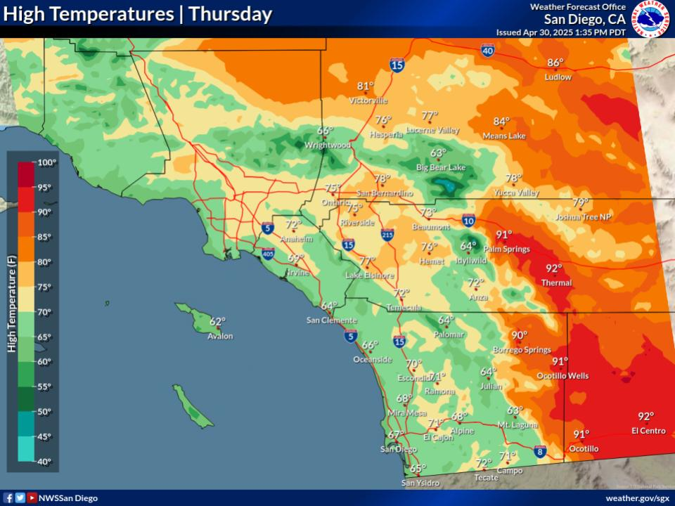
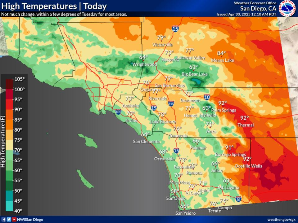
cooling to the region with highs 10 degrees cooler in the western
valleys. Highs will remain near 90 degrees again across the lower
deserts on Wednesday, before becoming much cooler.

By Thursday, the storm system will move closer to the region with
most areas seeing another 5 degrees of cooling. South to west winds
will be strongest on Thursday and Thursday night, with widespread
gusts 25-45 MPH, locally over 50 MPH in the passes. Model
guidance is still struggling some with exact timing of the onset
of precipitation, though hi-res models show a slower scenario with
precip beginning sometime early Friday morning across the LA
basin and surrounding mountains. NBM shows precip coming in as
early as Thursday afternoon. Confidence becomes higher as to when
the heaviest precipitation will be, which will occur from north
to south on Friday morning into the early afternoon. Rain rates
will likely be over 0.50"/hr, locally near 0.75"/hr. As this moves
through, there will be an increased risk of traffic incidents,
flooding, and debris flows/mudslides from local area burn scars.
Snow levels will remain rather high during this event as the
system pulls in moisture from the subtropics. Snow levels will be
near 9,000 feet to start on Thursday with levels dropping near
7,000 feet by Friday with a slushy accumulations under one inch in
places near these levels.

We continue to watch where the exact path of this area of low
pressure will go as it moves inland over the weekend. This will
dictate where (or if) the wrap-around moisture (the rain/snow on
the north side of the low pressure system) from the weather system
goes. In a scenario like this, precip will move over the area
from east to west, but confidence on where the precipitation sets
up and how much falls is still in question. If the system moves
further south, there will be a better chance for a greater amount
of the area to get rain vs. if the low pressure center moves
further north, keeping the southern half of our area not as wet.
The system will exit on Sunday, leaving 20-30% chances of precip
in the forecast. A secondary trough will move over the West Coast
by early next week, keeping the weather pattern unsettled. The
strength and how far south this system will go remains to be seen,
but chances (20-30%) for light precip are in the forecast for the
entire region, along with cooler weather.

&&

.AVIATION...
120415Z...Coasts/Western Valleys...Low clouds 700-900 ft MSL are
covering areas west of I-15 in San Diego County and 5-10 miles
inland in Orange County. Valleys around I-15 currently experiencing
VIS down to 1/4-2SM due to FG, with VIS improvements anticipated
overnight as bases lift to 1000-1200ft by 09-12z. Clouds will spread
further into inland valleys and perhaps western portions of the
Inland Empire (25-35% chance of occurrence after 08z), reducing VIS
to 0-5SM in those areas. Scattering back to the coasts and VIS
improvements everywhere around 18-19z Wednesday. Patchy cloud cover
may linger through the afternoon within 5 miles of the coast, then
move inland after 23z, remaining FEW-BKN in coverage as it does so
with bases rising to 1500-2000 ft MSL by Wednesday evening.

Otherwise...VFR conditions will continue through Wednesday with
SCT-BKN high clouds AOA 20 kft.

&&

.MARINE...
A storm system will bring strong winds and elevated seas late
Thursday through Friday as a front passes through the coastal
waters. Wind gusts 20-25 kts expected in the outer waters, closer to
15 to 20 kts for the nearshore waters. A swath of moderate to heavy
precipitation will accompany the cold front with a slight chance of
thunderstorms Thursday night through Friday.

&&

.SKYWARN...
Skywarn activation is not requested. However weather spotters are
encouraged to report significant weather conditions.

&&

.SGX WATCHES/WARNINGS/ADVISORIES...
CA...None.
PZ...None.

&&

$$

PUBLIC...PG
AVIATION/MARINE...Westerink
NWS Tucson (SGX) Office
